Flood Modelling on the River Wye
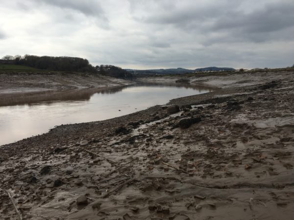
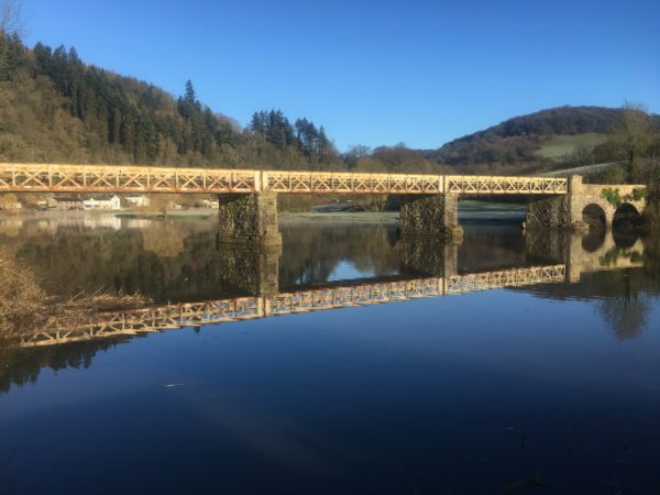
Working on behalf of the Environment Agency, LandScope surveyors are in the midst of carrying out a flood modelling survey on the River Wye this week.
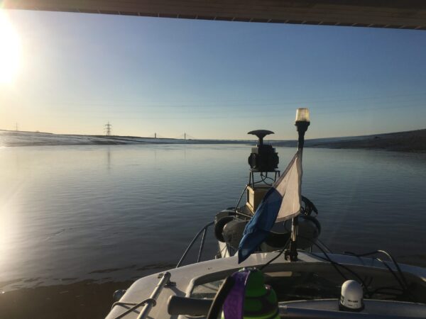
LandScope’s survey vessel ‘Polecat’ has been used to deploy our mobile mapping system, autoMAP, along the lower tidal sections of the river.
Mounted on the survey vessel, the autoMAP service is able to acquire LiDAR data which can be combined with the 3D models of the river bed topography to deliver a complete and accurate view of the river to the Environment Agency.
With the project due to complete in the coming weeks we will bring you further updates from the River Wye; in the meantime, you can find additional information about our flood modelling services on our website.