GEOPHYSICAL
SURVEYS
Ground Penetrating Radar Electrical Resistivity Tomography (ERT) Seismic Electromagnetic Hydrographic Acoustics & Magnetrometry Micro Gravity
LandScope Engineering offers a comprehensive geophysical survey service, deploying a range of non-intrusive geophysical techniques to identify natural and man-made features such as buried obstructions, utilities, and other geological variations. Geophysical surveys are often required as part of the planning process for development projects as well as to support research projects and site investigations. Traditional methods of ground investigation can include drilling numerous boreholes to understand the strata, whereas non-intrusive geophysical solutions are much more gentle on delicate ecosystems, as well as saving time and reducing costs and supply chain carbon emissions. We carry out geophysical surveys on behalf of consultants, engineering/construction companies, archaeologists, and local councils. Our in-house team of geophysicists have diverse experience in both land and marine geophysics and are on hand to advise on the best solution for your project.


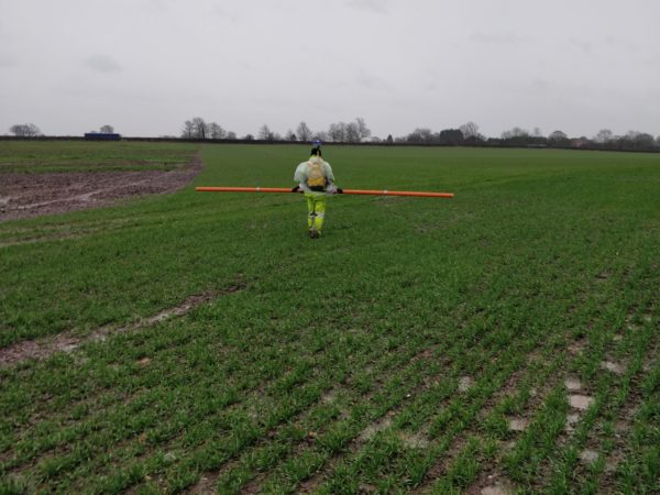
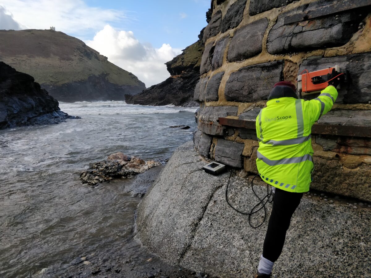
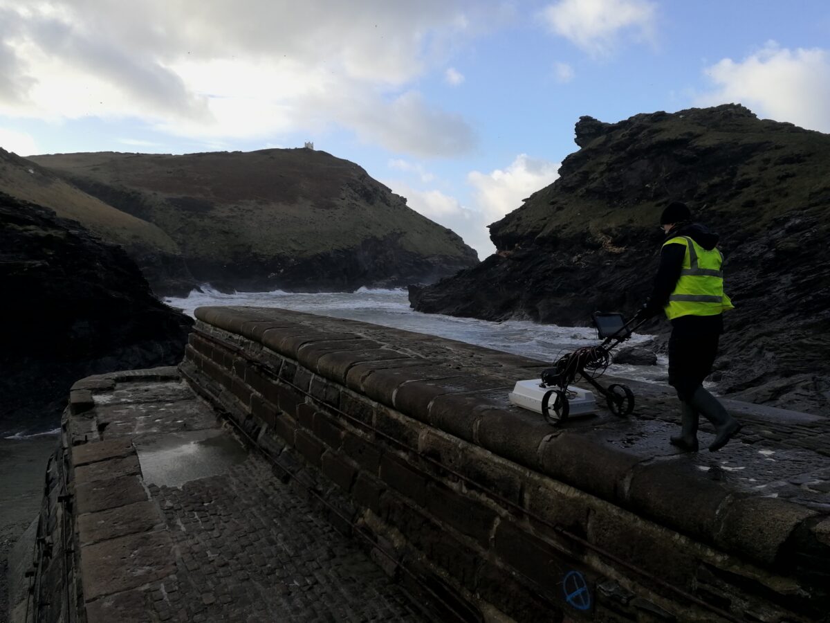
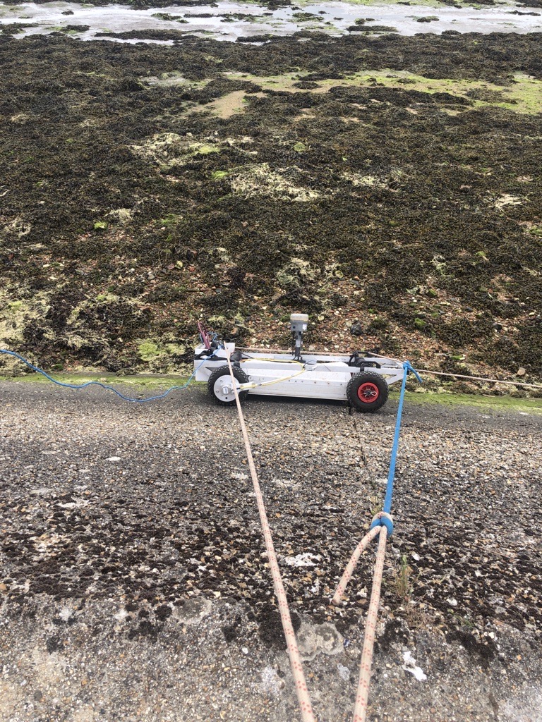
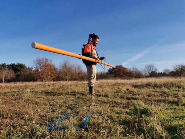
Ground Penetrating Radar (GPR)
We can deploy a range of geophysical survey techniques depending on the project requirements, including GPR.
more Text here…
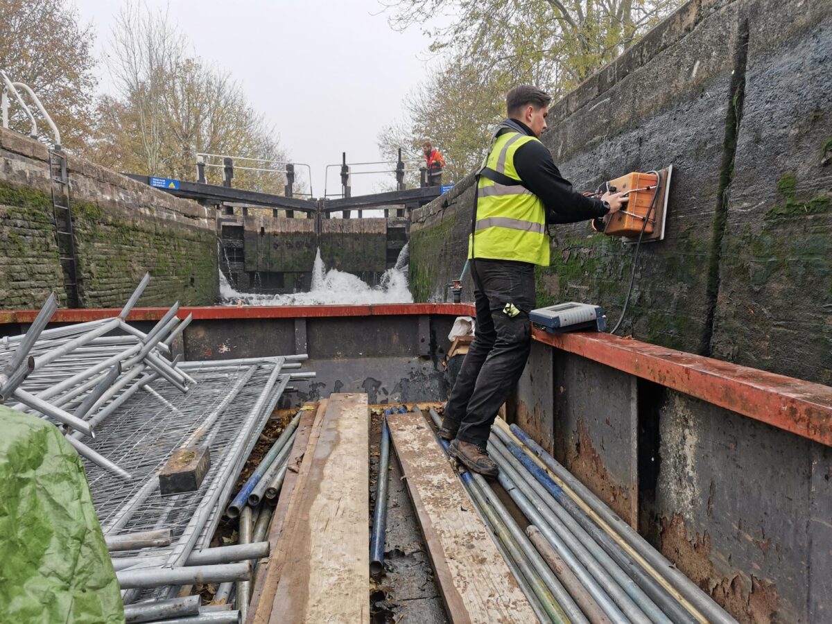
Electrical Resistivity Tomography (ERT)
Text here… need photo
Seismic
Text here…
Electromagnetic (EM)
Text here…
Hydrographic Acoustic and Magnetometry
Text here…
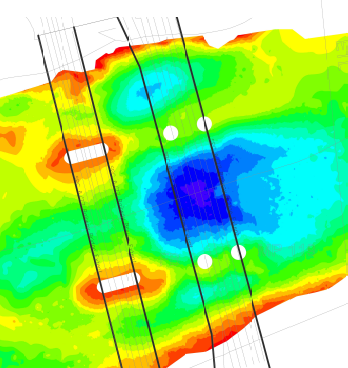
BURIED STRUCTURE MAPPING
Utilising non-intrusive and non-destructive testing (NDT) survey methods such as GPR, electromagnetics, resistivity, magnetometry, seismics and micro-gravity, geophysical surveys can be used to detect both natural and man-made buried structures. Surveys can be performed in most environments and over many ground conditions including concrete slabs, industrial areas, fields, brownfield sites and within developed urban areas. Our buried structure mapping service is deployed to detect and map: foundations, voids/basements/culverts, mine shafts/tunnels, contamination, pile caps or underground storage tanks.
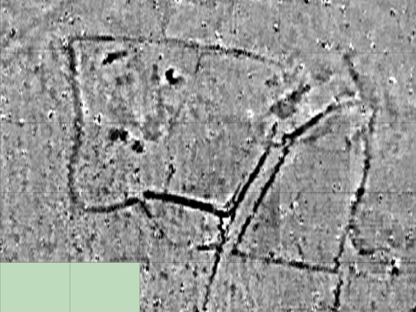
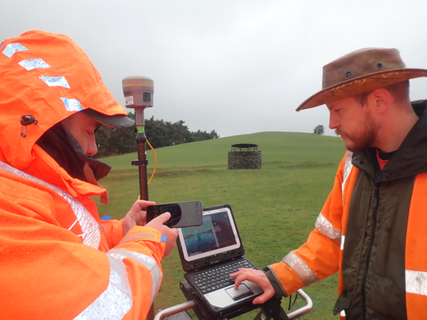
ARCHAEOLOGICAL GEOPHYSICS
A geophysical survey is a rapid and cost-effective non-destructive method for conducting an archaeological site investigation without excavation. Our archaeological survey service can be used to locate a wide variety of features including building foundations, buried ditches, roads and walls, crypts, graves, vaults, and other metallic objects. We’ve many years experience in undertaking non-destructive investigations, so if you’re looking for reliable geophysical survey companies, get in touch with LandScope.
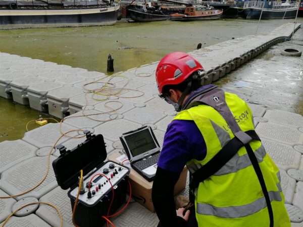
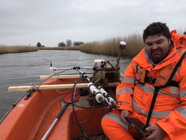
MARINE GEOPHYSICS
Utilising the latest acoustic and magnetic technologies from our dedicated survey platforms, LandScope are well-positioned to support marine engineering projects with our geophysical surveying services. Geophysical sensor configurations are designed specifically around survey objectives and project requirements. All sensor data acquisition benefits from the highest order of positional accuracy delivered by integrated GNSS and IMU solutions.