3D Modelling of Water Treatment Works
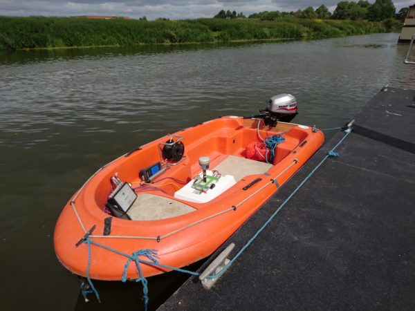
LandScope have recently completed a project at Upton and Mythe Water Treatment Works, integrating our laser scanning, hydrographic and geophysical capabilities to produce a 3D AutoCAD model of the intake structures.
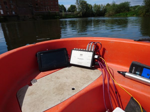
A duo of Trimble laser scanners, SX10 and TX8, were used to rapidly measure and model the above water detail of the intake alongside the BlueView scanning sonar which was deployed from our survey vessel Polecat to capture data of the intake structure below the waterline.
The concrete apron part of the structure, which lies on the river bed, was of primary interest to our client and to ensure the exact depth beneath the silt was captured, ground penetrating radar technology was utilised along with GPS measurements taken using a pole.
The resultant datasets were seamlessly integrated to create a single compelling 3D model deliverable.
It is with the benefit of diverse survey experience that LandScope is able to offer a bespoke solution, such as this, to meet the requirements of our customers.