An Alternative Aerial Perspective – LiDAR
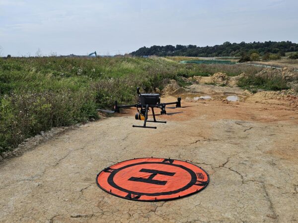
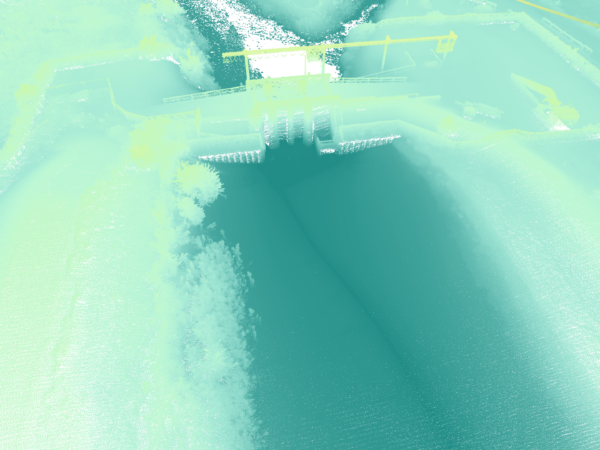
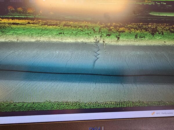
LandScope have recently been experimenting with high resolution aerial LiDAR data acquisition.
As part of an ongoing upgrade of our UAV survey capabilities, we have been focused on absolute and relative trajectory accuracies, data resolutions, vegetation penetrations and all of those ‘behind the scenes’ details which come together to provide the superlative data output.
LandScope has been providing UAV/drone survey services since 2010. We are now proud to present the latest aerial LiDAR survey capability; please contact us to arrange your access to this exciting new dataset.