ENVIRONMENTAL
LandScope Engineering deliver high quality survey acquisition and data analysis in support of complex engineering and environmental projects in riverine, estuarine and coastal environments. Our extensive technology-led measurement and sampling capability benefits infrastructure planning, consenting and development, environmental protection and resource management.
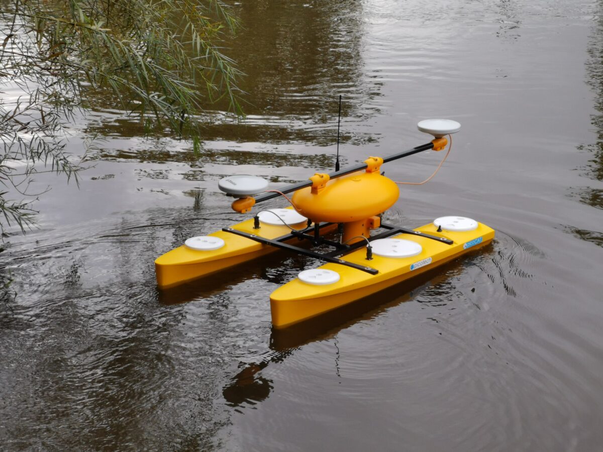
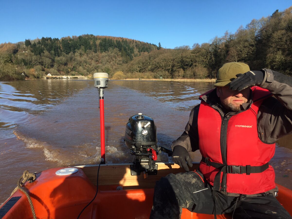
With deployment of our purpose designed survey vessel – Investigator – we have in house capabilities to undertake a variety of inter-tidal and sub-tidal marine environmental baseline and impact monitoring surveys along with habitat / biotope mapping and water quality modelling.
Through our fully equipped laboratory partners we can facilitate the analysis of biological and chemical samples for a range of analyses including taxonomic and particle size.
Telemetry data transfer from measurement and sampling sensors allows LandScope to provide a real-time monitoring service – a complete solution for understanding complex environmental inter-related system dynamics. This capability provides the opportunity to measure and model diurnal, atmospheric, oceanographic and external influences and subsequently analyse the multidisciplinary data with our established Trimble 4D Control software systems.
APPLICATIONS
- Dredge disposal license
- Flow monitoring
- Influent loading assessment
- Outfall studies (dye dispersion, drogues, ADCP)
- Discharge monitoring & modelling
- Full tidal cycle water quality surveys
- Habitat mapping and monitoring
- Marine noise measurement and monitoring
- Wastewater treatment works flow and load surveys
- Tracer surveys
- Sediment flux surveys
- Heavy metal analysis
SURVEY TECHNIQUES
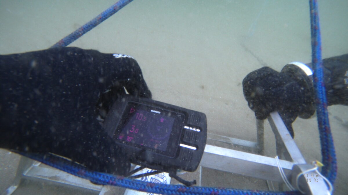
ROV: Remotely operated underwater vehicle capturing photography and video. The small, yet powerful mini-ROV is capable of inspecting a variety of environments.
Bed Sampling: Sampling and analysis of river, lake and sea beds. Testing for a range of manmade or natural artefacts that may have an environmental impact.
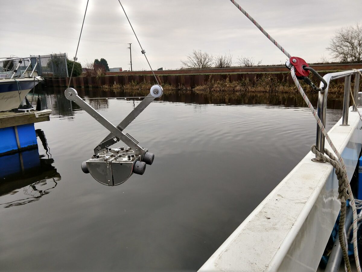
Benthic Grab, Dredge and Trawl: Sea, river and lake bed substrata and benthic micro fauna sampling and analysis through our carefully selected lab partners.
Acoustic Backscatter: Non-intrusive measurement technique for the monitoring of suspended settlement in the water column, and for seabed characterisation.
Vessel-Based Profiling and Mapping Systems: A range of environmental sensors may be deployed from our vessels, whether detecting attributes of the water column or mapping the seabed.