Mobile Mapping / Below and Above
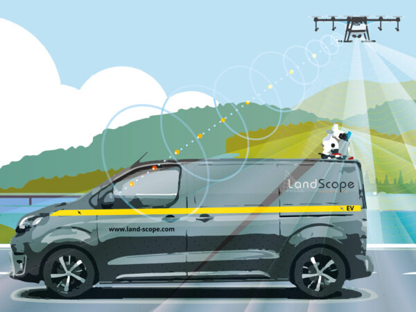
As part of our drive to carbon neutrality, we have now upgraded our mobile mapping service to an EV platform. The Leica P2u-based mobile mapping system typically covers more than 10,000 miles per annum. This upgrade now represents a significant improvement on our carbon footprint.
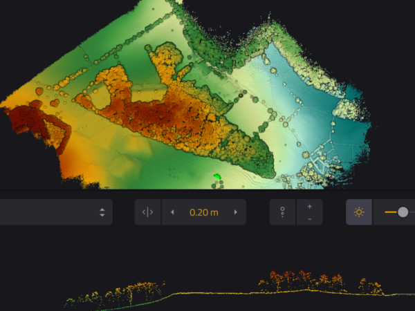
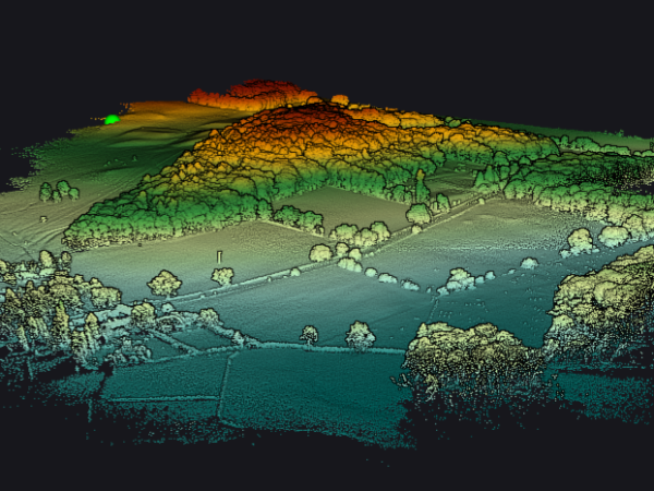
Mobile mapping datasets – LiDAR and photogrammetric – may now be fully augmented with an aerial / bird’s eye perspective. Our Yellowscan LiDAR mapping system partners the vehicle, with similar trajectory, to augment fully the datasets. No more shadow zones behind walls, hedgerows and buildings.
Contact us to get the complete picture.