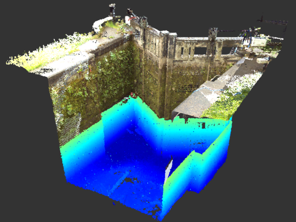
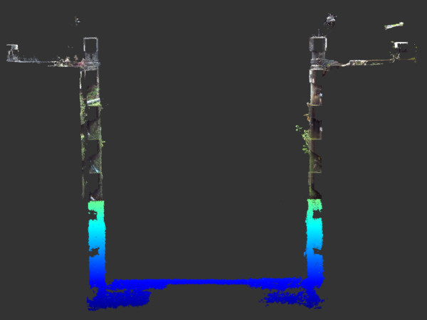
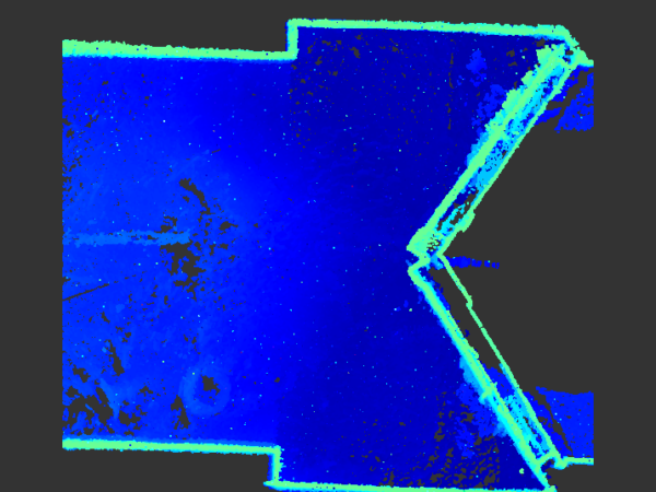
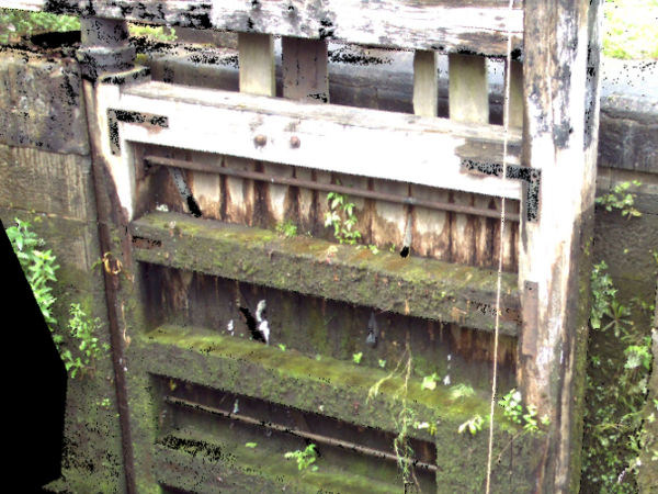
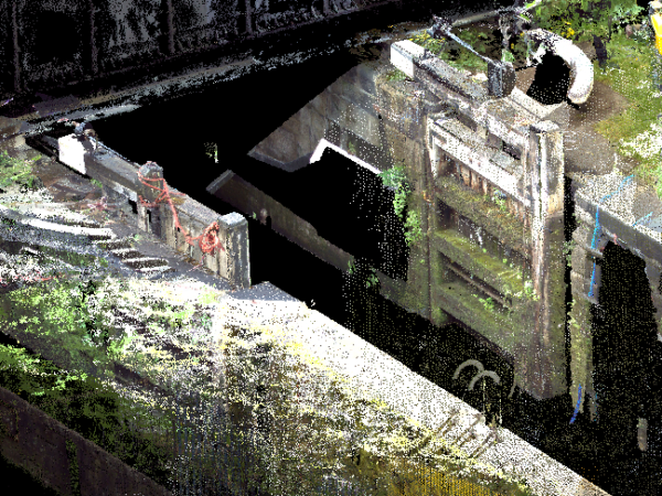
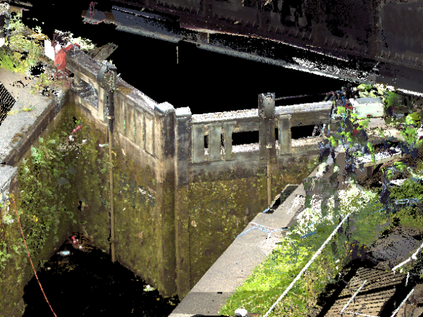
Our 2022 Resolution – Underwater
With the benefit of recent upgrades to our multibeam scanning sonar systems, we have arrived at an even greater data resolution for 2022. Recent deployment to canal lock gate surveys showcases the underwater visualisation process.
LandScope delivers the highest resolution underwater sonar data through a variety of formats and platforms from raw point cloud data to our web served GISGRO and Bentley Orbit 3DM solutions.
If you would like more information on any of our marine asset inspection solutions, please contact our commercial team on 01694 731930 or enquiries@land-scope.com.