Remote Survey of Quay Wharf
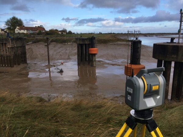
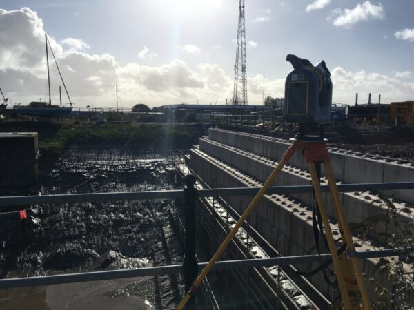
To aid construction works at the dock, LandScope were commissioned to map the extents, and obtain elevational levels, of the dry dock reinforced slab.
The site presented many challenges and required careful planning by the team to ensure works did not interfere with the live construction site. Traditional total station observations were married with state-of-the-art high accuracy laser scanning methods using the Trimble SX10 laser scanning total station.
The SX10 significantly reduced processing time in the office. Once the necessary checks had been made in Trimble Business Centre, the 3D point cloud was imported into an AutoCAD Recap file for the client and a topographic CAD model with levels and cross-sections of the concrete slab were made in AutoCAD Civil 3D. Delivery of the files to the client was via a secure cloud sever.
If you would like more information on any of our survey solutions please contact our commercial team on 01694 731930 or enquiries@land-scope.com