Reservoir Survey – An Integrated Technology Approach
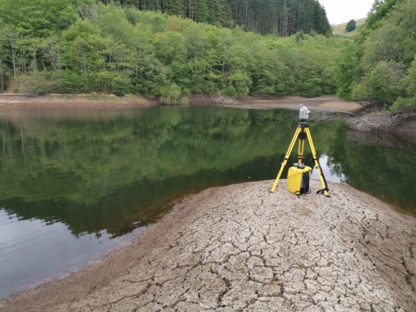
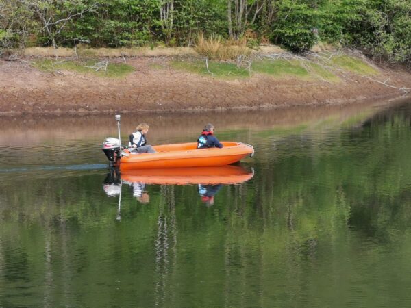
LandScope offers various survey types to the owners, operators and managing agents of reservoirs whether for the purpose of compliance with the Reservoir Act, safety management, technical upgrade or even decommissioning – as was the case for our recent project at Esgaieira reservoir. In order to conclude an engineering design, the survey requirements included the 3D modelling of the structure both above and below the waterline. The bathymetric profile and geophysical investigation of the reservoir bed sub-surface were also required to assess the extent of lacustrine deposition.
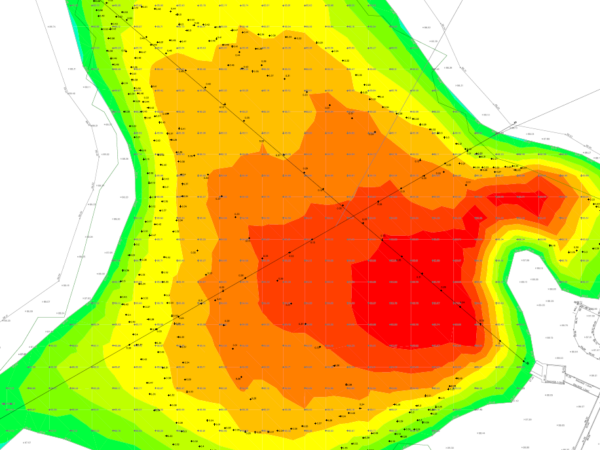
Whilst the laser scanning and single-beam bathymetric approach are well established, the sub-bottom profiling of these shallow and low-density silt environments is always challenging. Traditional acoustic methods struggle with data multiples, signal ‘ringing’ and are often difficult to mobilise from the small, shallow-draft boat platforms which are necessary to cope with improvised deployment and extreme shallows. Through the application of Ground Penetrating Radar (GPR) technology, we are able to offer a reliable and high-resolution alternative to sub-bottom profiling. With this innovative approach, we remove the ambiguity associated with this element of the reservoir survey. The UTSI Trivue GPR antenna provides for three separate frequencies – 1.0 GHz, 500 MHz and 250 MHz – which in turn provide the balance of high resolution at the low-density bed transition and sufficient penetration to allow ‘visibility’ of original engineered bed and even bed-rock structure.
The GPR record is accurately positioned and referenced to the bathymetric record to ensure the highest 3D accuracy at the reservoir bed and below. Innovation leading to technical certainty.
If you would like more information on any of our survey solutions, please contact our commercial team on 01694 731930 or enquiries@land-scope.com.