Route Planning at a Glance
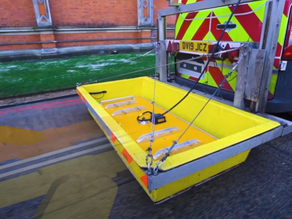
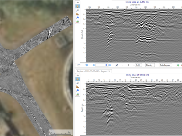
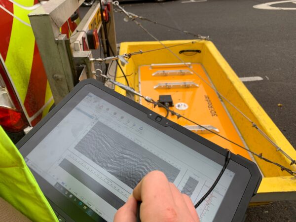
The application of LandScope’s ultra-high-resolution and density array system from Kontur is massively reducing project cost and timescales. The ability to rapidly acquire accurate sub-surface imaging data allows the new utility installation to mitigate alignment clash risk with simple below ground graphic time sliced GPR data.
When augmented with statutory service data, and full PAS128 Level B and A (as required) surveys, proposed route alignment models may now be generated with far greater confidence.
If you would like more information on our route planning services, please contact our commercial team on 01694 731930 or enquiries@land-scope.com.