DRONE SURVEYS
AND UAV INSPECTION
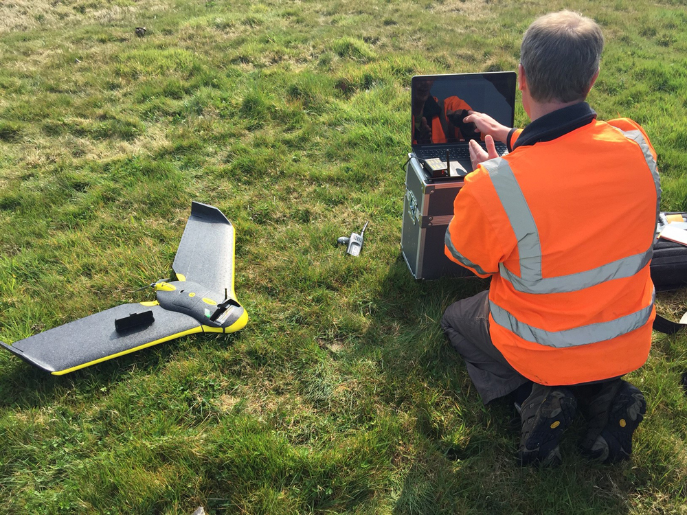
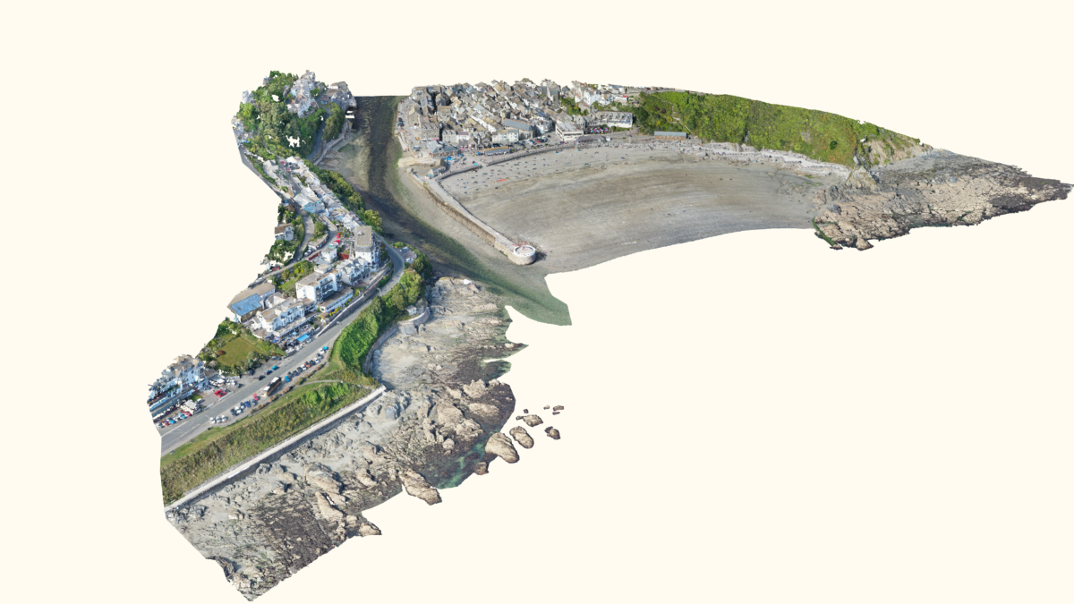
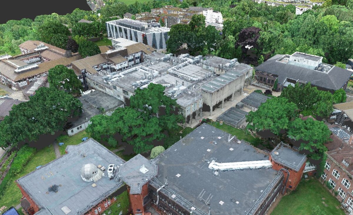
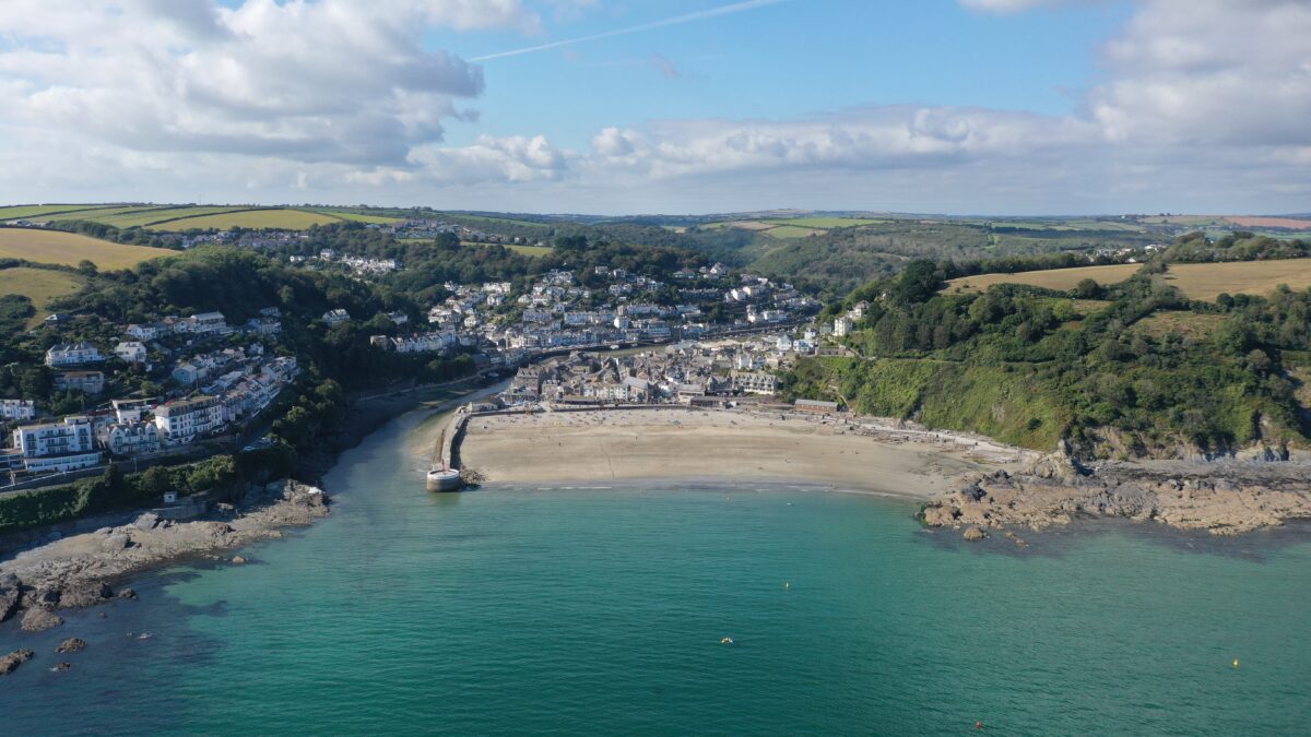
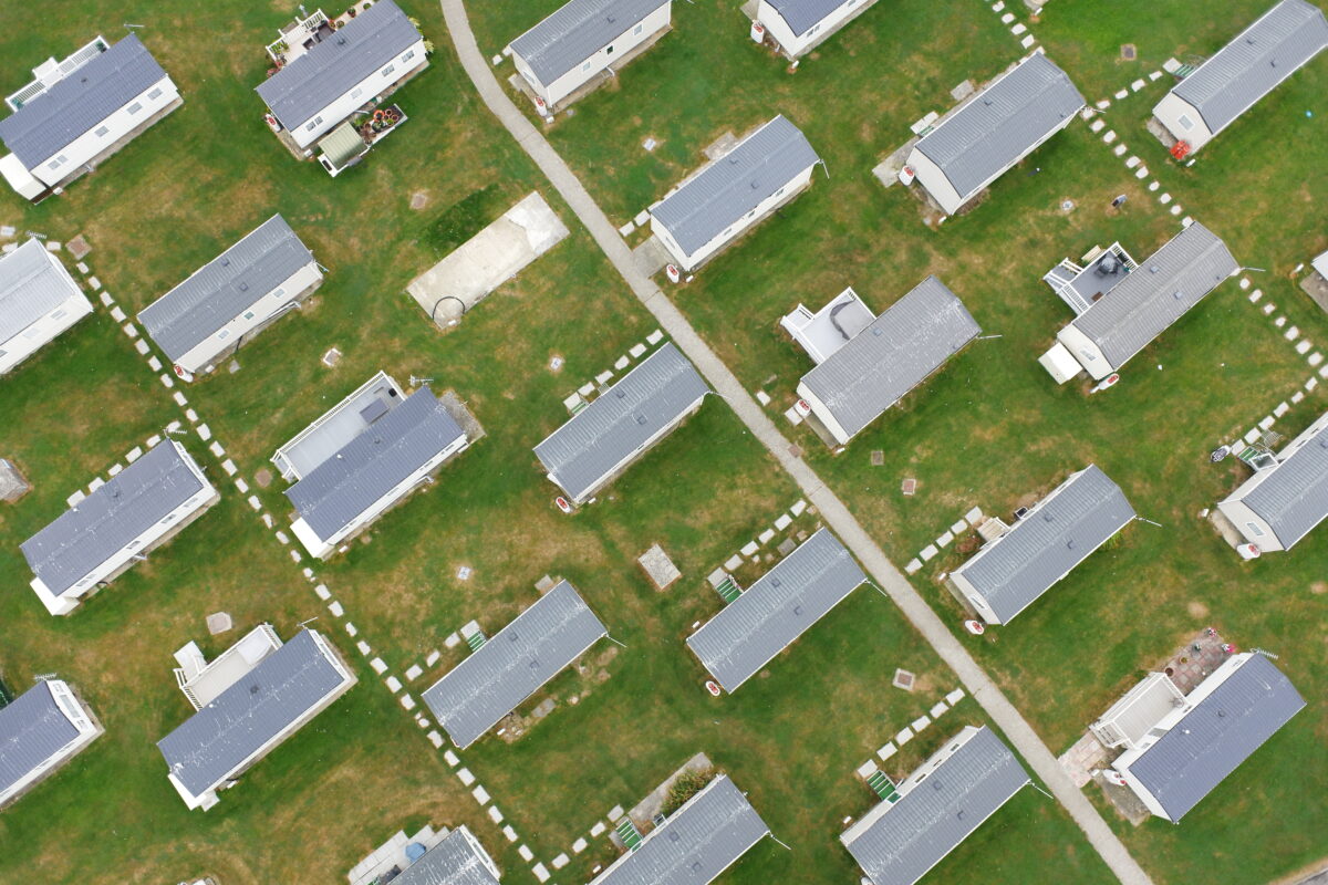
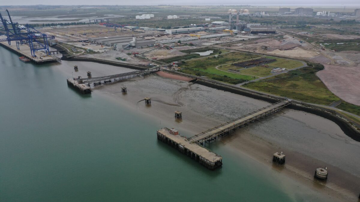
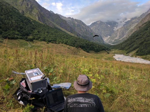
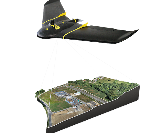
With the ability to rapidly cover large areas and access hard-to-reach locations, drone surveys offer a cost-effective and safe solution for a range of surveys and aerial inspections. LandScope operates advanced drone technology to deliver high-resolution data and photography across a number of sectors. Our Unmanned Aerial Vehicle (UAV) fleet includes both fixed-wing and multi-rotor systems which will be selected by our experienced CAA approved team depending on the survey area and objective. A single drone survey campaign allows for the creation of visualisations, volume calculations, analysis, monitoring and inspection.
DRONE LAND SURVEYING
We offer comprehensive drone surveys and inspections using Unmanned Aerial Vehicles (UAVs). LandScope operates in-house fixed-wing and multi-rotor UAV systems. All campaigns are designed and supervised by our CAA accredited pilots.
Drone surveys enable large areas to be mapped at a fraction of the time and cost of traditional methods and are now frequently used by land surveying companies. UAV surveys offer flexibility and accessibility, reaching areas that are difficult for human or traditional aircraft to access.
UAV AERIAL SURVEYS
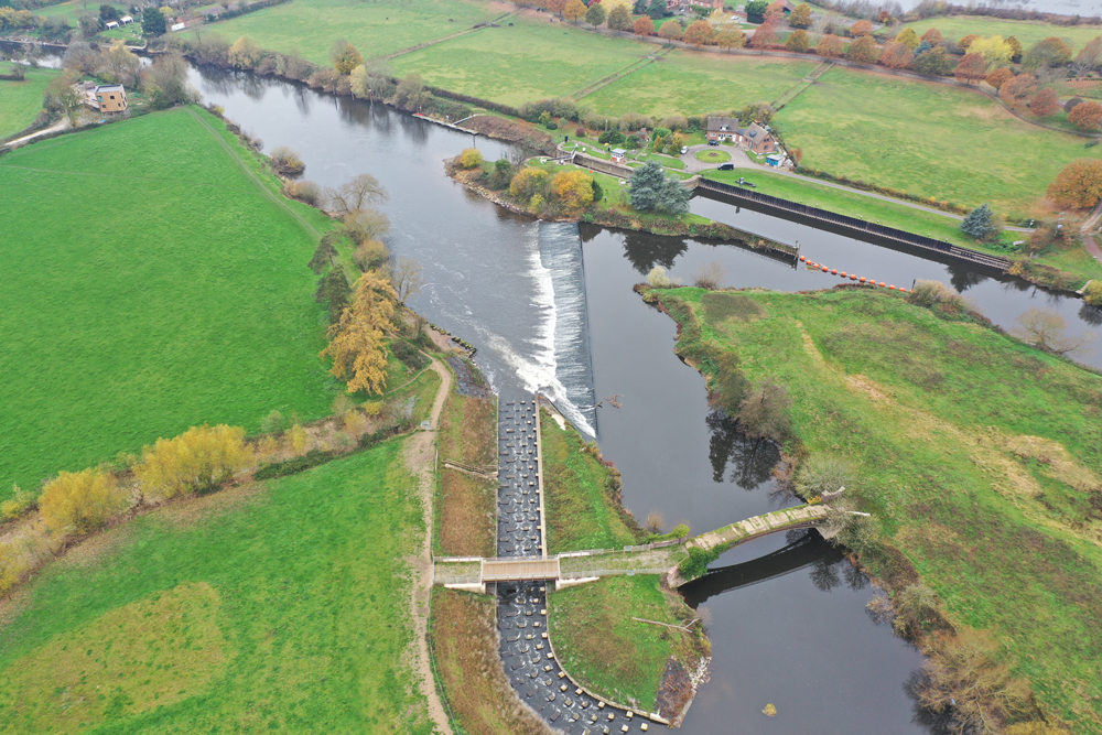
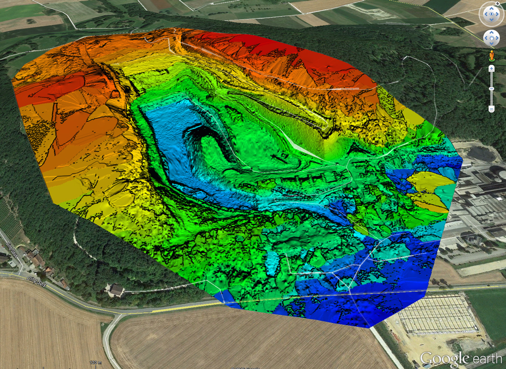
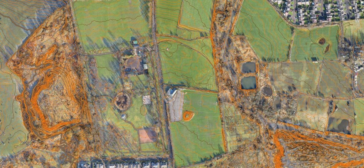
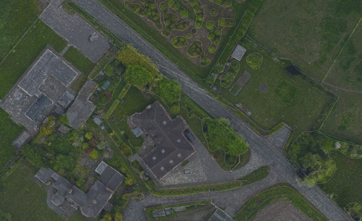
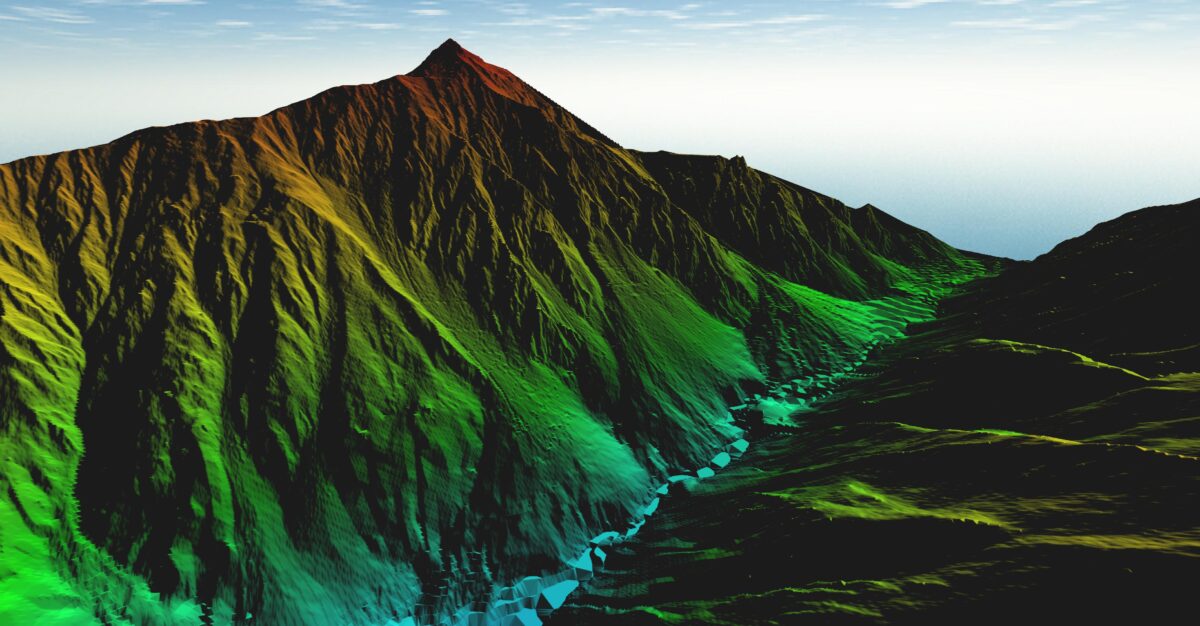
Drone surveys rapidly cover large areas and can be combined with traditional survey methods such as mobile mapping and topographical survey to produce a comprehensive overview of your site or structure. We can deliver highly accurate topographical surveys, digital surface models (DSM), digital terrain models (DTM) and high-resolution imagery.
- Rapid Survey Data Capture: 200ha in approximately 2 hours of flying
- Accurate: resolution of 30mm-120mm (depending on GCP’s)
- Reduced Risk: access areas surveyors cannot
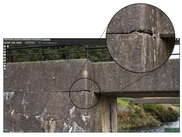
UAV INSPECTION AND MONITORING
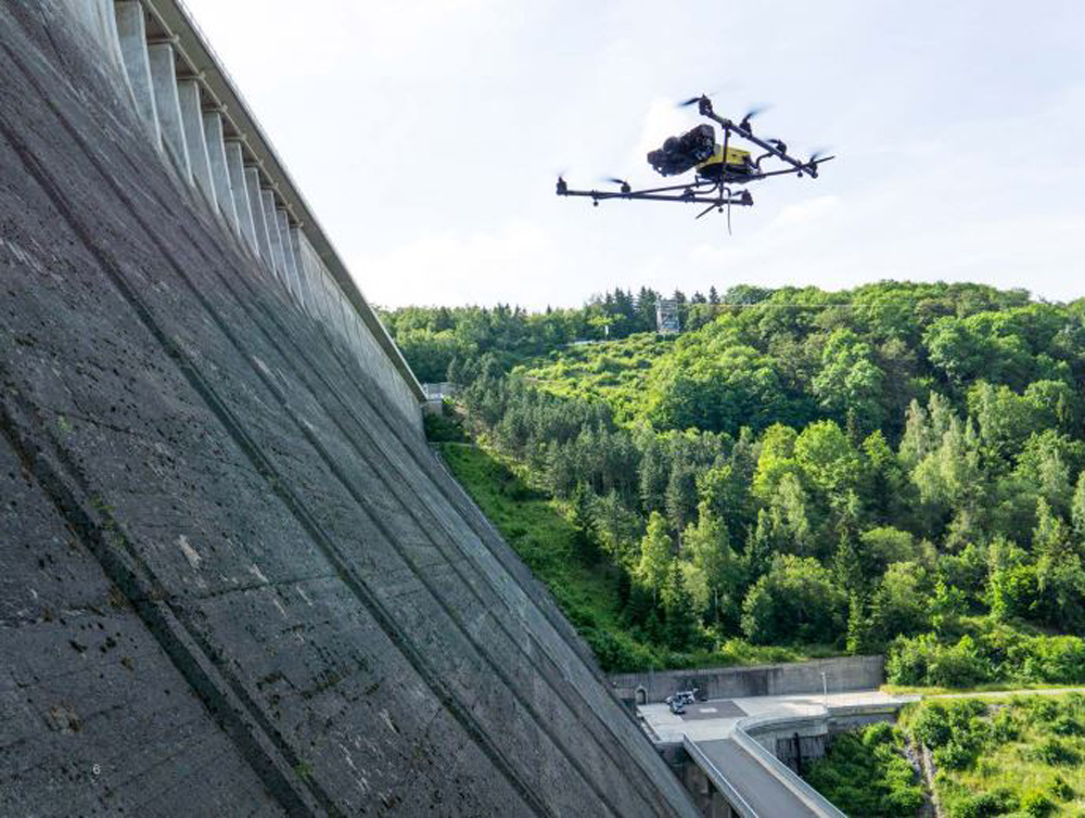
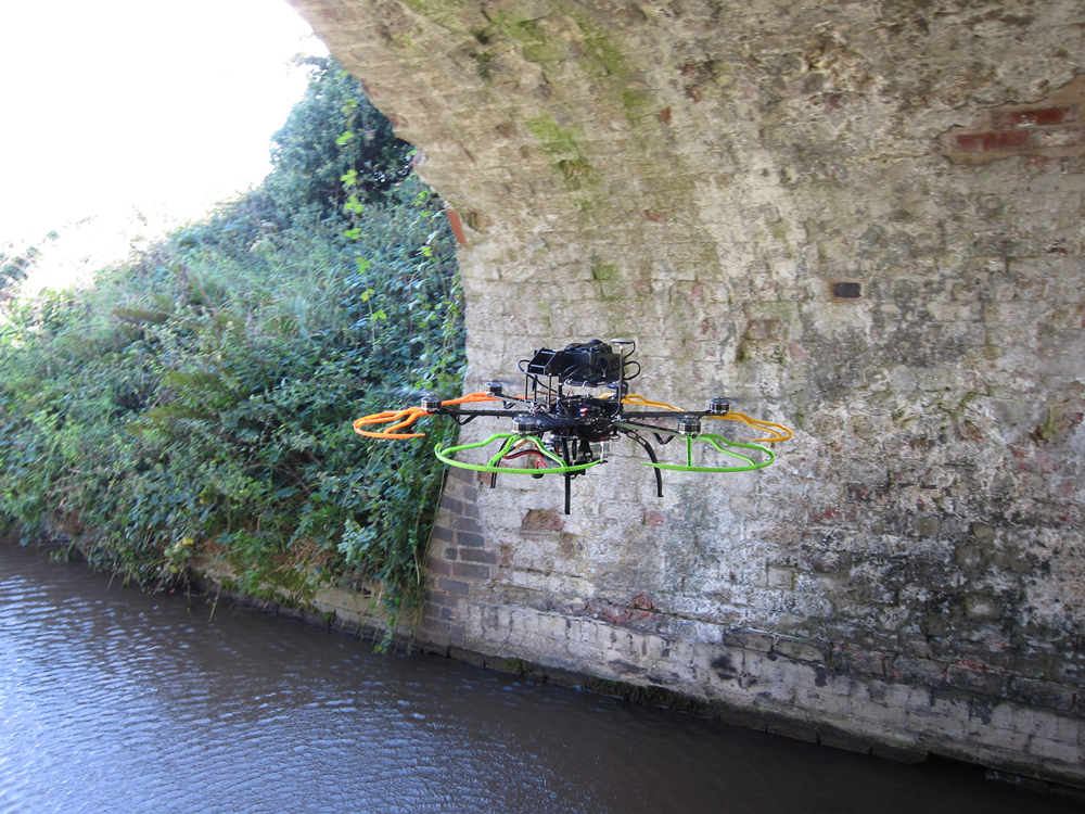
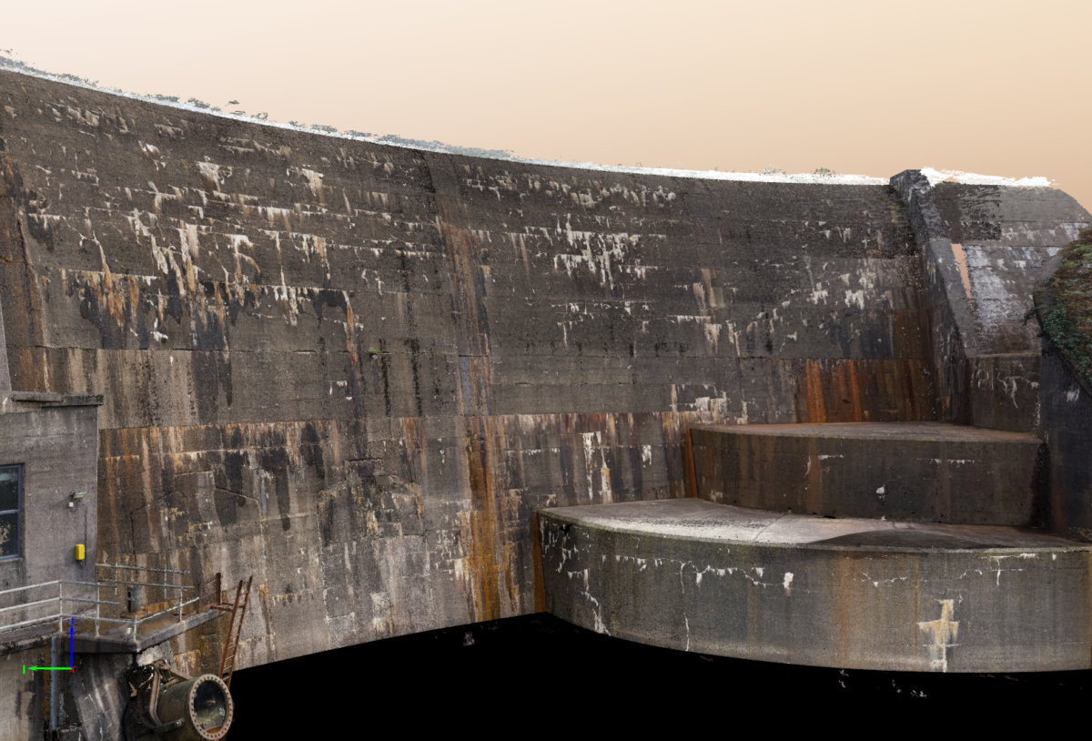
We have developed a bespoke solution for the inspection and visualisation of structures located in challenging or difficult to access areas. Our UAV system with a top-mounted camera captures close-range, high-resolution images and is ideally suited for the underside of bridges and dam faces. The high-quality system provides an accurate and safe alternative to extensive scaffolding, work platforms or rope access.
A UAV inspection can be integrated with our other services, such as underwater visualisation, to produce a compelling 3D model above and below the waterline.
APPLICATIONS INCLUDE:
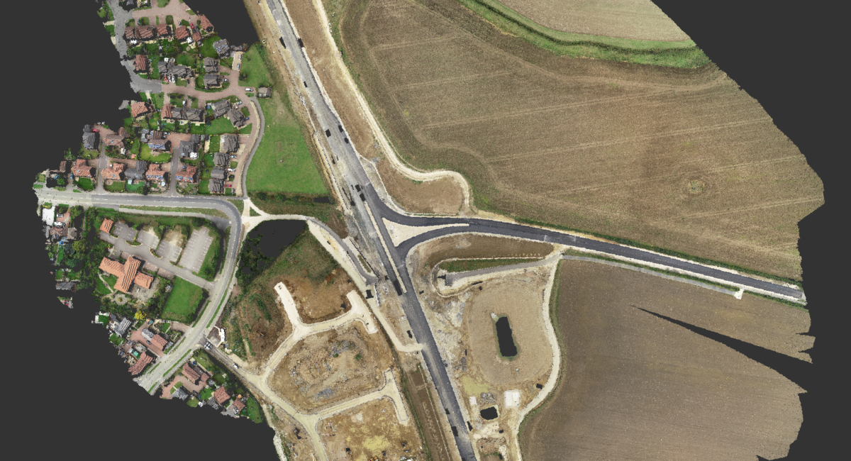
- Mapping of large-scale proposed routes including pipeline, overhead cable, and highway feasibility
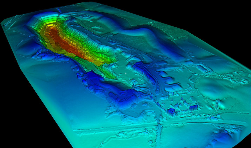
- Quarry and stockpile survey
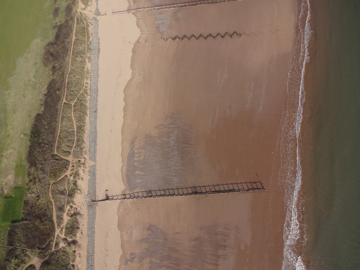
- Inspection of bridges, dams, and other marine infrastructure
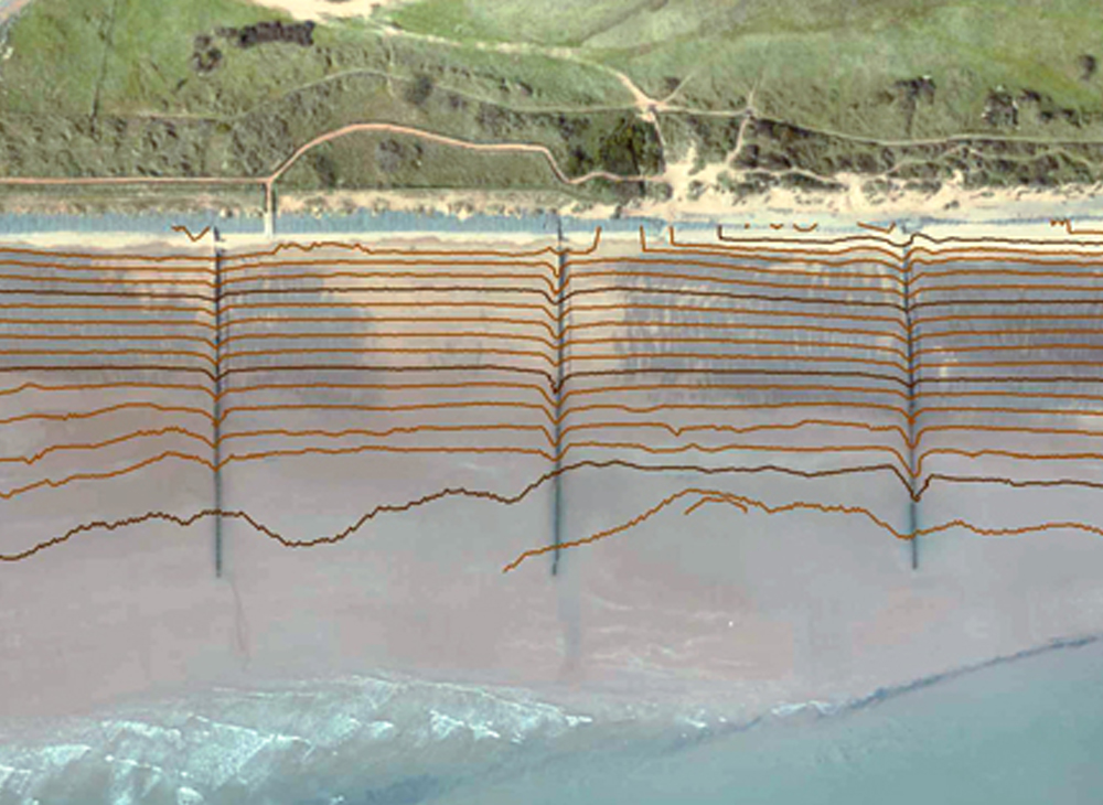
- River and coastal modelling
- Flood risk assessment and modelling