Taking U-GIS To The Field With Trimble SiteVision
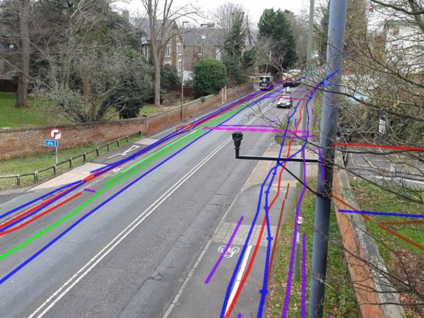
New advances in AR technology means it is now easier than ever to visualise survey data in the field.
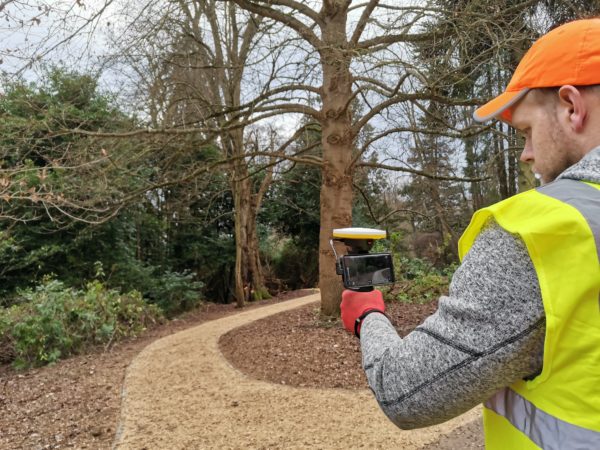
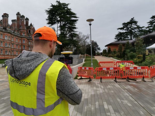
Trimble’s SiteVision device pairs a centimetre accurate GNSS receiver with a high end smart phone to allow 3D visualisation of integrated data sets including underground utility services, buried structures, manhole chambers and full 3D models (above and below the ground).
Meta data and database information can be incorporated making this a powerful solution for a wide range of applications.
For more information on U-GIS, LandScope’s Underground GIS Platform please click here or contact our commercial team on 01694 731930 or via email on enquiries@land-scope.com