PAS128 Compliant
Utility Mapping Surveys
PAS128 is the current British Standards Institute specification for underground utility detection, verification, and location in the UK. It allows the utility survey industry to deliver its services to a recognised level of accuracy and gives our clients assurance and confidence in the data they are receiving.
We offer a range of utility mapping surveys that are complaint with PAS128:2022 guidelines. Whether you need several survey types (survey type A,B,C or D) or something bespoke, get in touch with us today.
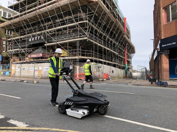
Since its introduction in 2014, LandScope has integrated PAS128 into our robust and thorough field procedures, together with the utilisation of multiple surveying methods – EML , GPR, Geophysics – ensuring that our customers benefit from the best available and most accurate results.
PAS128 SURVEY CATEGORIES
PAS128 focuses on different levels of accuracy, referred to as Survey Category Types. There are four Survey Category Types ranging from D to A:
- Type D: desktop utility record search – a thorough desktop search of all statutory asset records in a specific location.
- Type C: underground utilities plotted from utility record data with site reconnaissance to match utility record and physical utility street furniture as the best fit.

- Type B: an on-site utility mapping survey that locates the horizontal and vertical position of underground buried utilities using multiple geophysical methods.
- Type A: utilities are verified and positioned by physical identification. This may be by hand-dug trial pitting, open trenches, vacuum excavation or by visual inspection within a utility chamber.
Unsure about what level of PAS128 survey you require?
With representatives on the Utilities and Subsurface Mapping Panel (USMP), who are currently working on the revised PAS128 specification, our experienced buried utilities team are on hand to advise on the best approach and most suitable PAS128 utility surveys for your project.