Aerial, Terrestrial and Underwater Techniques Combine to Tackle Weir Surveys
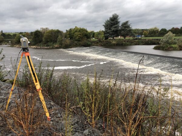
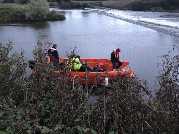
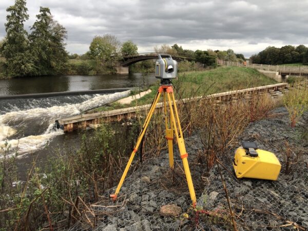
The accurate and complete survey of weir structures is notoriously challenging; access restrictions, flow rates, turbidity and aeration of water all compound to test survey techniques to the limit.
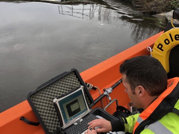
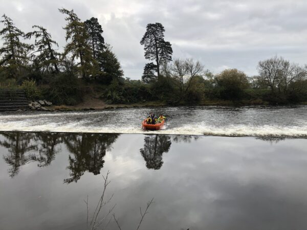
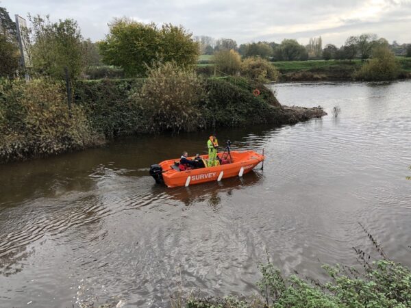
With support from our new two-point moored vessel platform Polecat II we were able to acquire close up, high resolution data both above and below the structure.
Ongoing works on the River Severn have been augmented with Trimble X7 and SX10 terrestrial scanning in addition to rotary stabilised UAV survey.
If you would like more information on any of our survey solutions, please contact our commercial team on 01694 731930 or enquiries@land-scope.com.
Alternatively, find out more about our geophysical and river surveys here.