Aerial Versatility
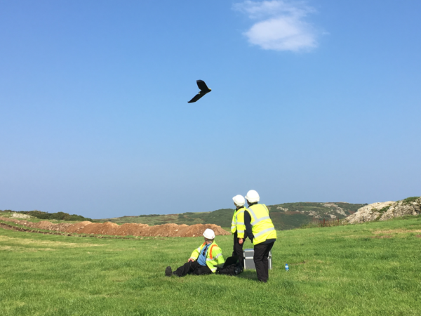
An aerial perspective is always of value and the applications of our UAV (drone) fleet continues to grow.
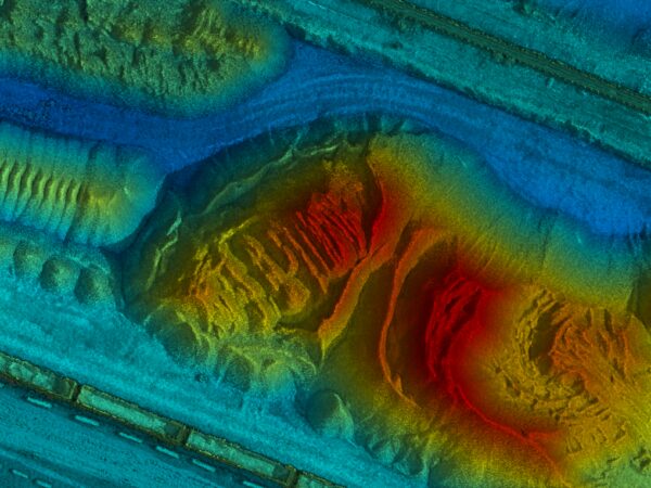
Over the last months our UAVs have worked on:
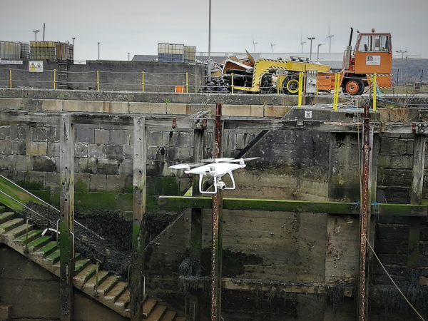
- Coastal schemes – augmentation of hydrographic models into the inter-tidal zone
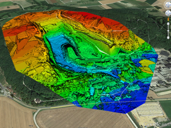
- Flood risk assessments – the production of digital terrain models over areas inaccessible on foot
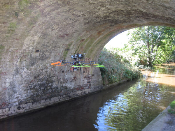
- River infrastructure inspections – including weirs and overflow channels
- Stockpile analysis – monthly 3D stockpile models in determination of asset value
- Topographical survey of inaccessible terrain
LandScope operate fixed wing and rotor UAV solutions and can design a survey campaign to meet your needs. Find out how the aerial perspective can benefit your measurement, survey and inspection requirements, or get in touch.