Monitoring Eye from the Sky
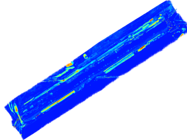
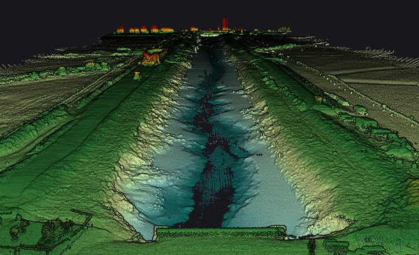
With highest regard for repeatable 3D positioning accuracy, LandScope is now deploying its airborne LiDAR sensors to monitor landform change.
The exceptional resolution of the onboard UAV/drone sensors – LiDAR and photogrammetric – allow for digital terrain model differencing at regular monitoring intervals.
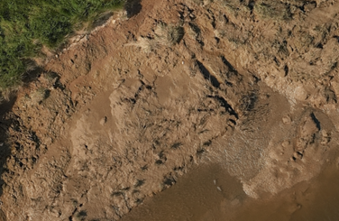
The technique has recently been deployed to a tidal drainage channel on the South coast and has successfully measured and modelled both the channel scour and accretion, and the flood defence bank slip. The top-down perspective allows for greater subject resolution and a much safer survey programme.
With ever-increasing pressure on our drainage infrastructure and flood defence networks, we believe this fast and effective monitoring technique will become mainstream.