Mystery Divined
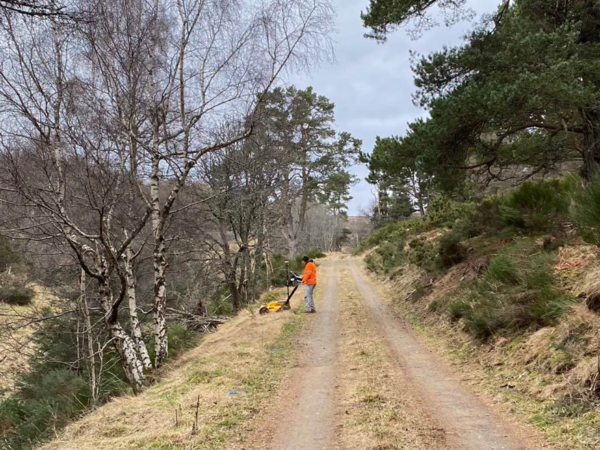
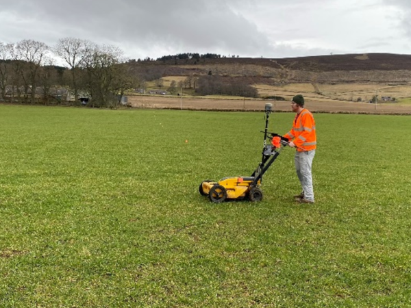
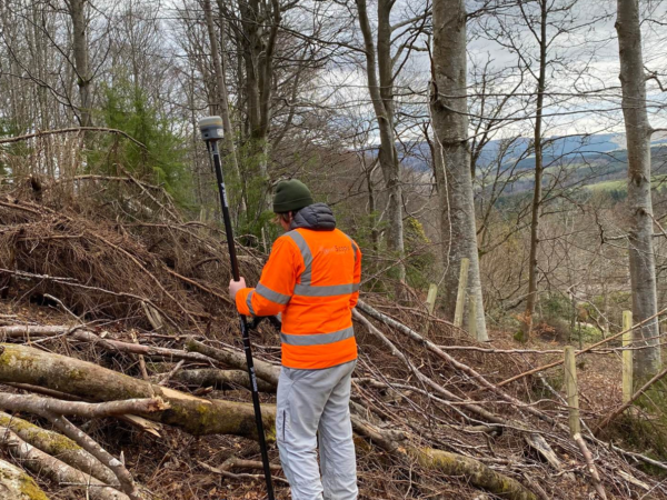
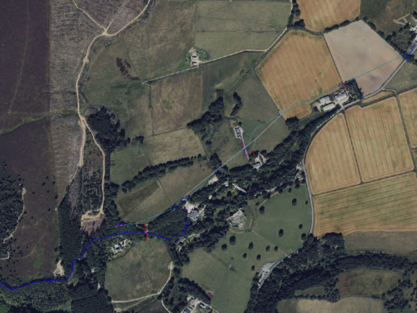
When an enquiry arose asking whether we could solve a conundrum at the stunning Kildrummy Estate in Aberdeenshire, we leapt at the chance to put our team and our equipment to the test. Forestry works had inadvertently punctured a circa 3km long-lost water supply stretching between a dam and the local Inn; it ran through fields, forests, and other mixed terrain at indeterminate depths. The only information we had to go on was that the pipe began in cast iron changing to polyethylene at an unspecified point and that it was of varying diameter along the way.
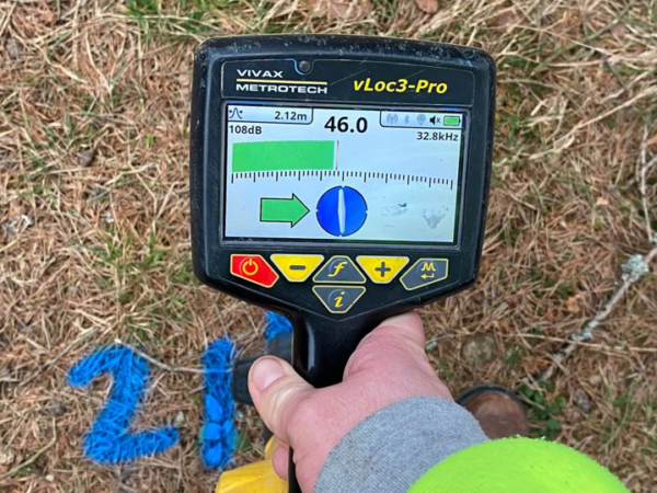
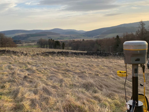
Rather than traditional divining rods, the route was traced using cutting-edge technology, including ElectroMagnetic Location (EML) techniques. It was enhanced with Ground Penetrating Radar (GPR) acquisition, and positioned with Global Navigation Satellite System (GNSS) receiver and base station for accuracy. The on-site team used livestream data supplemented by years of experience and a little natural gumption. As much detail was collated as possible in order for the off-site post-processing team to eliminate further utility pipes from the picture.
The question of whether a wee dram was consumed of an evening at the Inn after a satisfying days’ surveying remains unanswered, but if you have a hidden pipe that’s perplexing you, please do get in touch.