“Reach from the Skies”
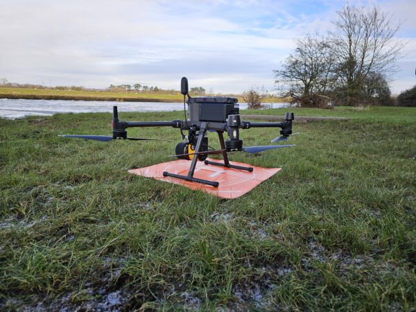
The latest addition to LandScope’s UAV service fleet – the Yellowscan Ultra LiDAR system – has now flown out of it’s traps!
Our UAV pilots and wider survey team are most impressed with the systems capabilities as it is deployed – already – to a wide range of applications:
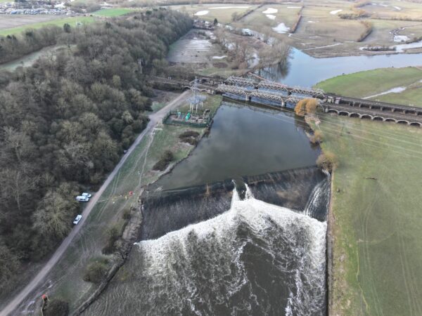
- Post-flood Weir Survey
- Proposed Pipeline Route Survey
- 5 of Process Plant Surveys
- 3 of Reservoir Surveys
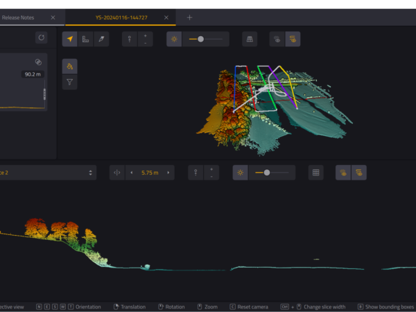
LandScope has invested significant time in the rigorous testing and acceptance of the Yellowscan system to ensure it delivers data accuracy and resolution commensurate with our wider mobile solutions platforms.
Please contact us for more information.