Measuring Beyond The Accessible
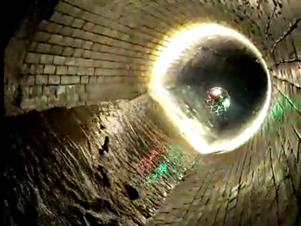
LandScope are routinely requested to develop bespoke measuring and modelling campaigns for culverts, tunnels, shafts and underground chambers. The one thing in common being inaccessibility – i.e. no manned entry.
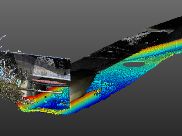
We select from a range of measurement sensors and deployment systems – depending on remote access opportunities, size of feature, water or air-filled and, of course, the resolution and accuracies defined by our clients.
Techniques include:-
- Photographic / Photogrammetric / LiDAR – from crawlers, ROVs and UAV/Drone: Elios 3 (supplied through Glanville Geospatial)
- Sonar – high resolution underwater modelling from crawlers, ROVs and inverted frames and tripod systems
Allow us to solve your inaccessible survey problems by contacting us here.