Below Ground
Survey
Utility Mapping Mobile Solutions Engineering Geophysics
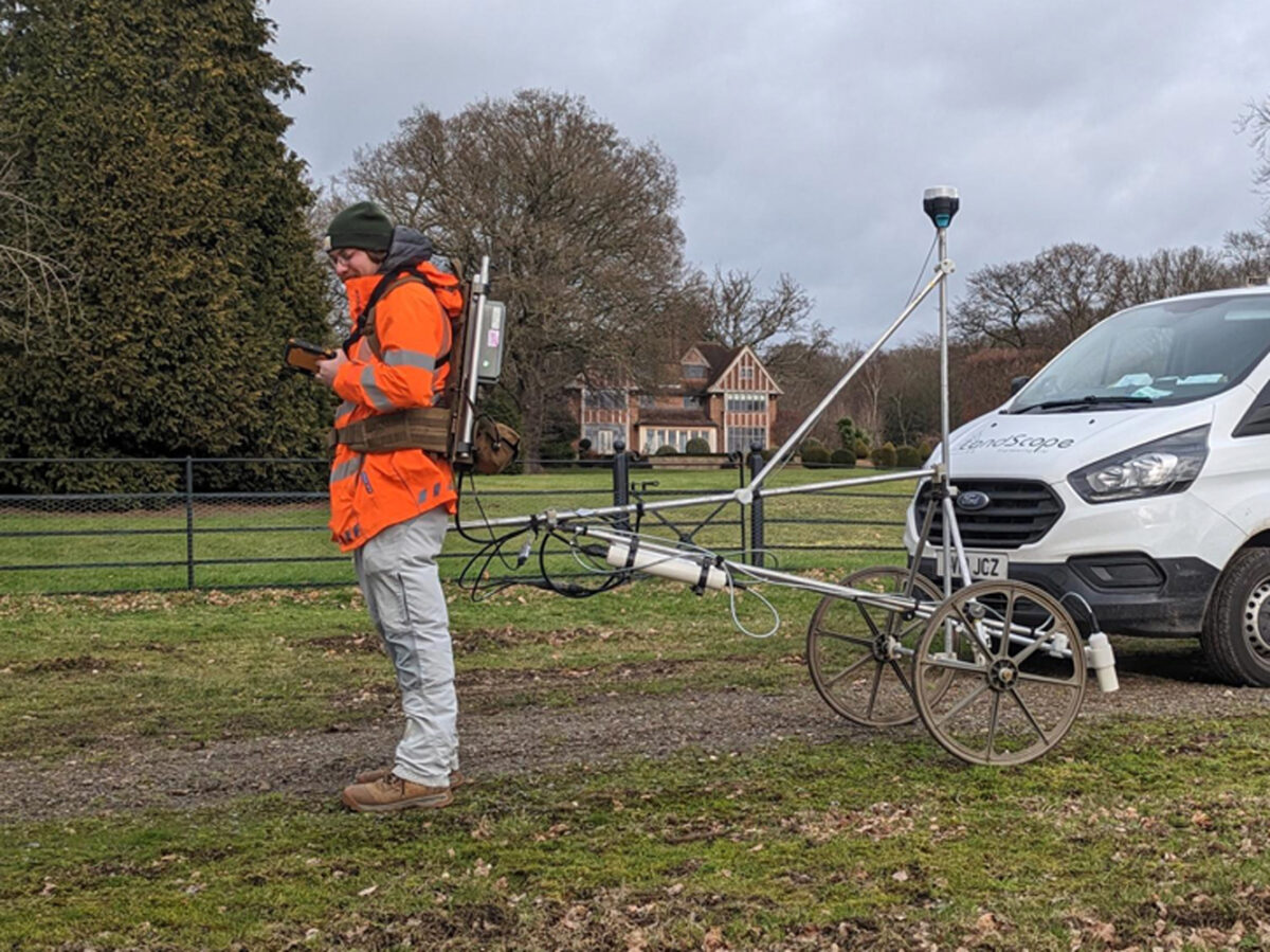
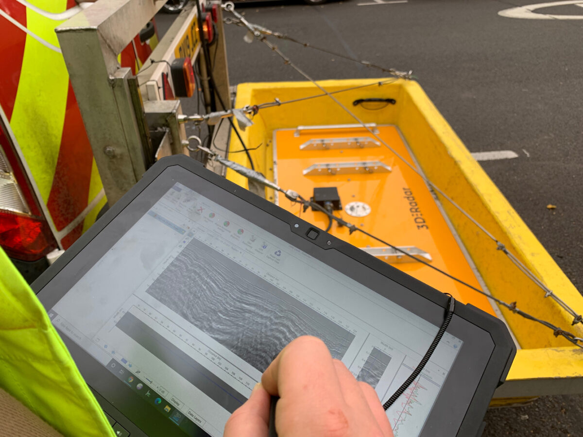
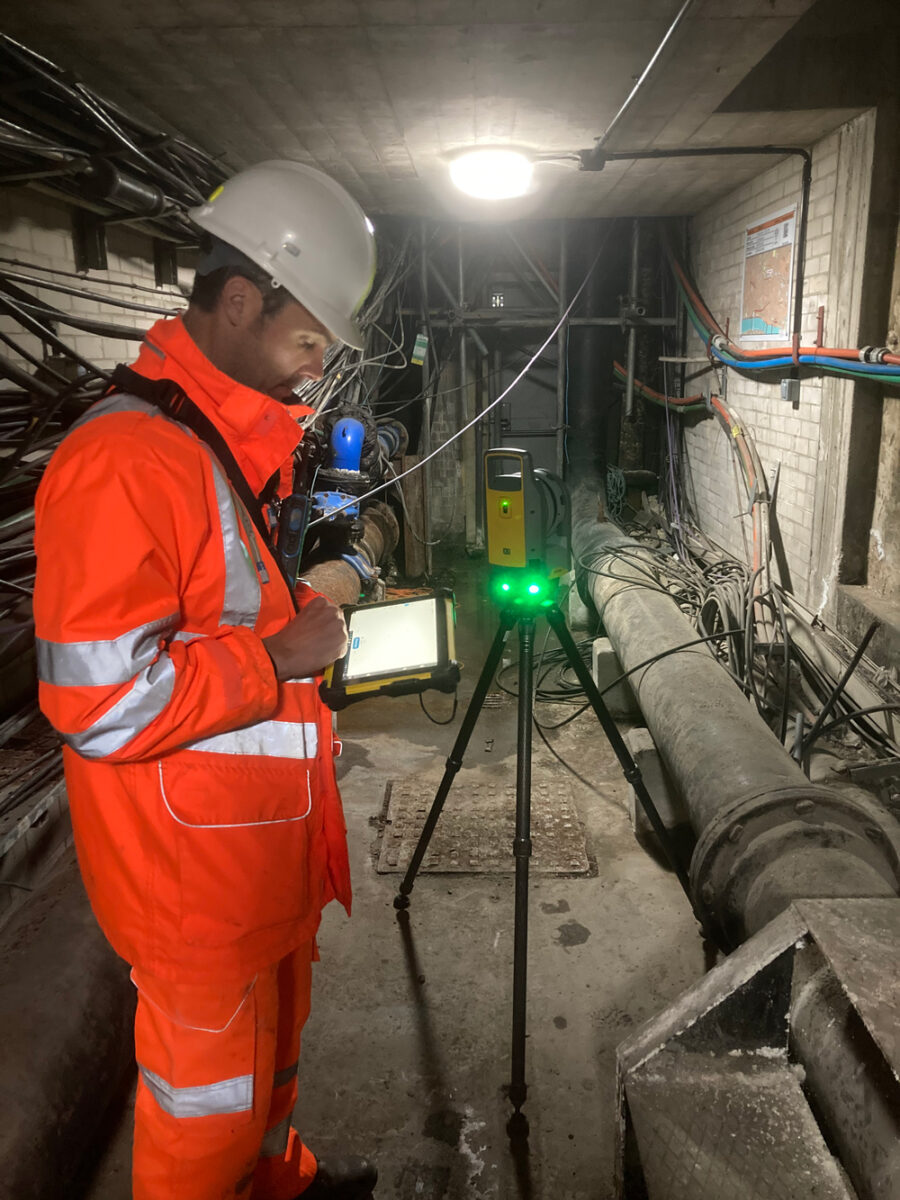
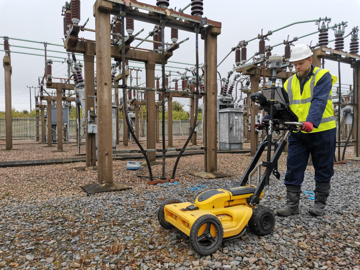
The legacy density and complexity of our underground utility infrastructures is now a major consideration and often an impediment to new scheme design. The available below-ground space for new systems and utility upgrades is now extremely limited, so we need absolute certainty on what lies beneath our feet.
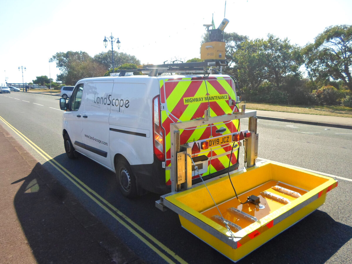
LandScope has been providing underground utility mapping surveys since 2004 and are industry leaders in the development and application of innovative technologies and workflow management. The deployment of Ground Penetrating Radar (GPR) as an integral part of resolving underground infrastructure networks has been core to our underground survey design since service inception – and we continue to lead with the latest radar technologies.


Below Ground
Integrated Survey Solutions
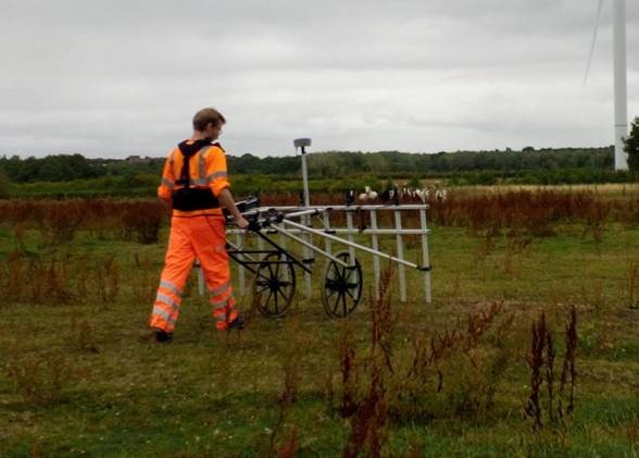
Utility Mapping: Underground Utility Survey, PAS128 Survey, Ground Penetrating Radar.
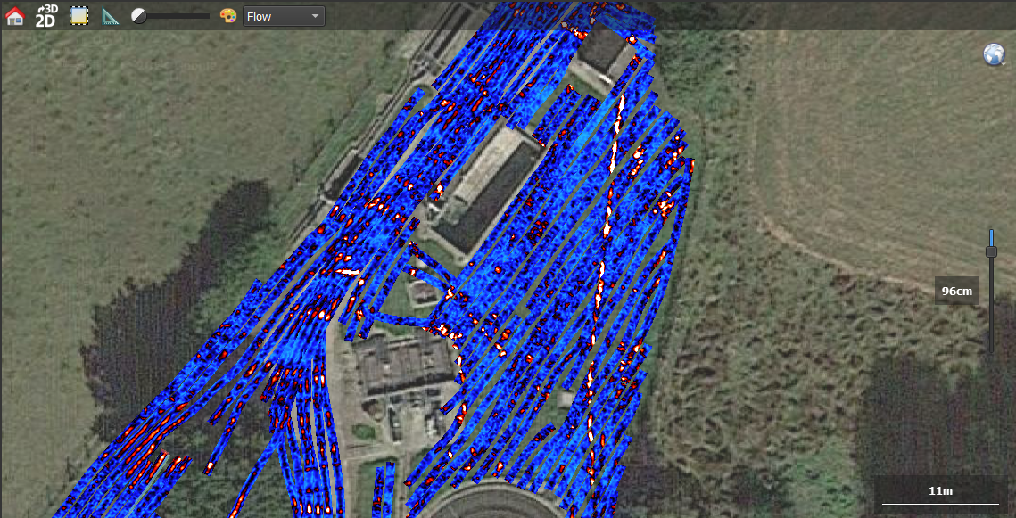
Mobile Solutions: Mobile GPR, Mobile Geophysics, Route Alignment.
Engineering Geophysics: Geophysical Surveys, Specialist GPR, Pavement Analysis.