Condition Assessment of a Quay Wall
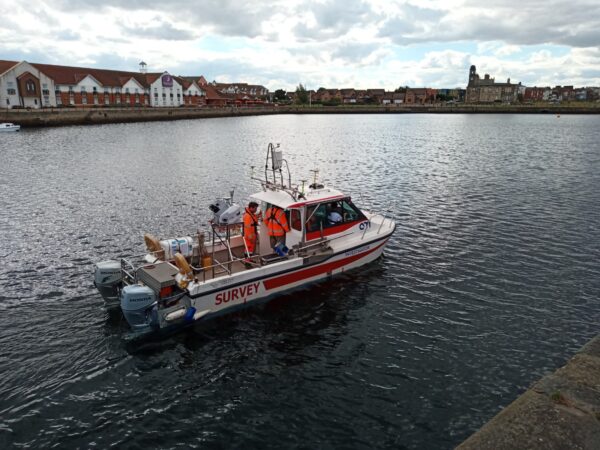
Our hydrographic team have been hard at work having just completed an integrated condition assessment survey at Hartlepool Marina.
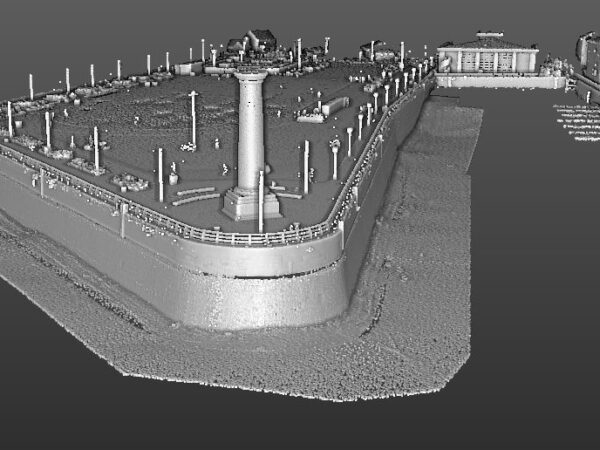
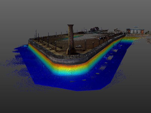
The survey brief called for a condition report with a georeferenced visual output that would support unambiguous identification of above and below water structural anomalies – particularly the small displacements evident in the underwater masonry blocks.
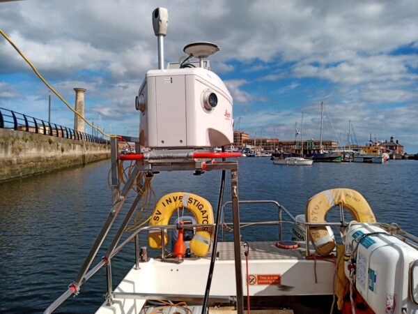
The hydrographic team deployed a range of in-house sensors from our road towable, Mecal coded survey vessel Investigator for the underwater and marine Lidar surveys. The sensors used included:
- R2Sonic 2024 for multibeam data
- Leica: Pegasus Two mobile mapping system with dual antennas for marine Lidar and imagery
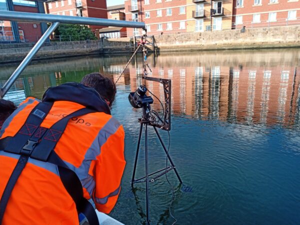
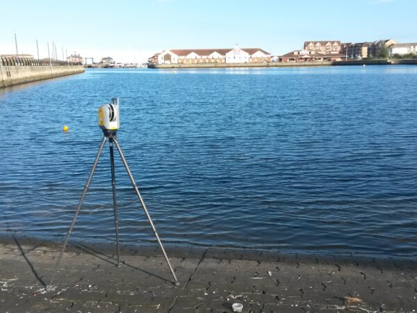
- Teledyne BV5000 tripod based scanning sonar for high resolution multibeam
- Garmin VIRB for above water 360° 4k video
The above water terrestrial survey data was captured using a combination of Trimble X7 and SX10 laser scanners and Trimble R12i GNSS receivers for the project control.
The project deliverables were issued as a layered point cloud data set in Autodesk Recap with supporting imagery, video and condition report. In addition, our client received their project deliverables online via Orbit 3DM Cloud from Bentley Systems. The easy to use online platform ensures client teams have access to sophisticated GIS functionality and visualisation tools.
If you would like more information on any of our hydrographic survey solutions please contact our commercial team on 01694 731930 or enquiries@land-scope.com.