PORTS AND
HARBOURS
ABOVE THE WATERLINE
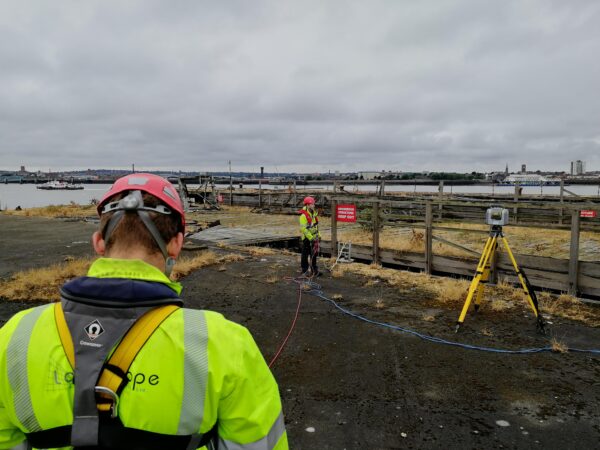
Above the water, the combination of marine mobile mapping and UAV provides a rich data set from which it is possible to conduct visual inspection, condition assessment, and asset inventory. High-resolution photography and accurate 3D point cloud create a simplified method of capturing, visualising, and managing critical assets.
Additionally, LandScope offers a range of Non-Destructive Testing (NDT) technologies. With efficient in-house workflows utilising ultrasonic and ground penetrating radar (GPR), it is possible to inspect masonry, concrete and metallic assets for assessments on quality and condition.
BELOW THE WATERLINE
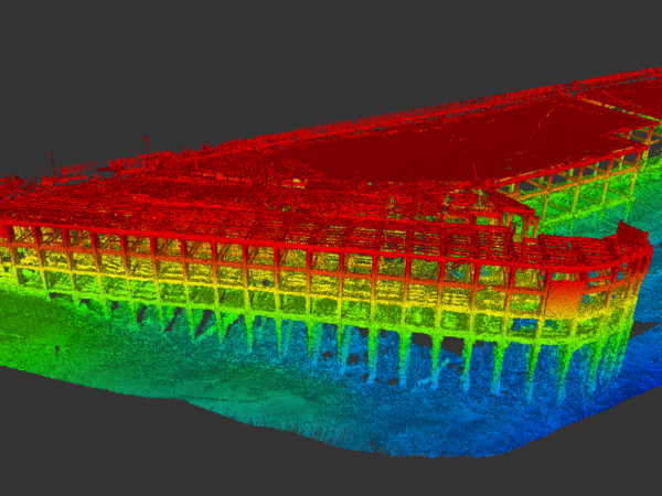
Inspection below the waterline has often relied on divers working in areas of poor visibility to provide reports on condition and defects. To augment, or in some cases even replace this traditional technique, LandScope has developed a range of sonar-based survey services that provide a clear visualisation of underwater environments.
Fundamental to this, our R2Sonic and BlueView multibeam sonar systems provide detailed and accurate 3D information of underwater structures. The resultant data creates easy to interpret visualisations in either a point cloud or video file format. Our mini-ROV, outfitted with a range of sensors, is able to capture high-resolution video and photography to supplement the sonar data sets.