GS6 Overhead Line Survey for a Pipeline Corridor
GS6 Overhead Line Survey
Project Overview
LandScope Engineering completed a GS6 overhead line survey as part of an 8 km pipeline corridor project.
The 100 m-wide corridor passed through fields, active construction sites and highway sections. Several overhead power lines crossed the proposed pipeline route. Therefore, the client needed accurate information to plan work safely around this infrastructure.
The Challenge
The pipeline route crossed varied terrain and several overhead electricity lines. This created potential risks for construction plant, lifting operations and vehicle movements.
The client needed accurate information on the position, height and sag of the overhead cables. However, the data also needed to align with the wider topographical and underground utility survey.
In addition, parts of the corridor crossed busy roads and active construction sites. This required careful coordination and managed traffic control.
Our Survey Approach
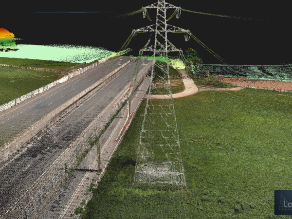
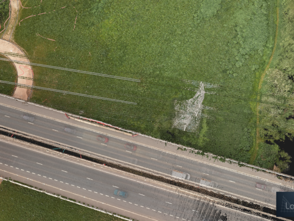
LandScope used UAV LiDAR to capture the pylons, overhead cables, ground levels and surrounding features.
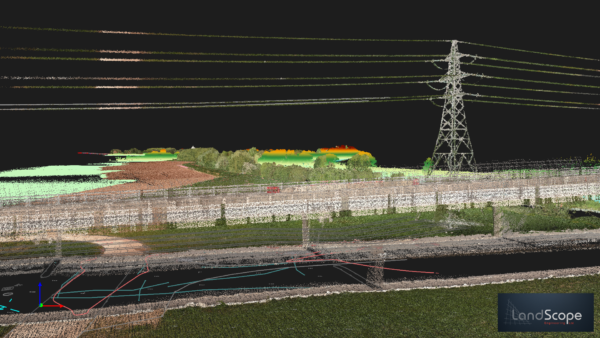
The high-density point cloud created an accurate 3D record of each overhead line crossing. As a result, the client can review the pylons and cables alongside the wider pipeline corridor design.
The wider project also included:
- UAV LiDAR and aerial imagery
- Topographical survey data
- PAS128 utility surveys
- Ground Penetrating Radar (GPR)
- Electromagnetic Location (EML)
- Traffic management for highway sections
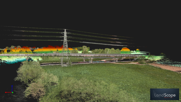
UAV LiDAR survey of overhead power lines and pylons to support GS6 planning across an 8 km pipeline corridor.
Supporting GS6 Planning
The client can use the point cloud data to support GS6 risk assessments and construction planning near overhead power lines.
The survey data can help the project team:
- Identify overhead cable routes and crossing points
- Measure cable heights and clearances
- Review cable sag across the corridor
- Plan plant movements and access routes
- Identify potential height restrictions
- Support pipeline route and temporary works planning
The Outcome
LandScope delivered a coordinated dataset covering the above-ground and below-ground infrastructure across the pipeline corridor.
This gave the client a clear view of the overhead power lines, terrain, highways and underground utilities. It also reduced the need for separate surveys and supported safer, better-informed planning.
Services Provided
GS6 overhead line survey | UAV LiDAR | Pipeline corridor survey | Point cloud data | PAS128 utility survey | GPR and EML | Traffic management
Planning Work Near Overhead Power Lines?
LandScope Engineering provides accurate UAV LiDAR and point cloud surveys to support GS6 assessments, pipeline design and safe construction planning.
Contact our team to discuss your project.